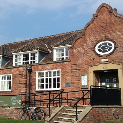
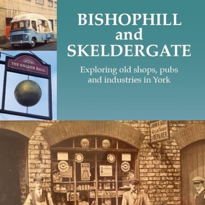
View navigation
Street |
Origin |
Albion St |
Laid out ca 1815 |
All Saints Lane |
Used to be Church Lane from pre 1852 |
Baile Hill Terrace |
Land sold in 1882 so after then |
Bar Lane |
Bar Lane prob by 1694. Named by 1852 |
Barker Lane |
Ex Gregory Lane c1230 |
Bishophill Senior/Junior |
Littlegate ca 1161-84 referred to both St Martin's Lane and Bishophill Senior. |
Bridge St formerly New Bridge St |
Used to be part of Micklegate. 1822 New Bridge St. By 1842 it was Bridge St. |
Buckingham St |
1851-61 |
Carr’s Lane formerly Kirk Lane |
Ca 13c. led from Skeldergate to St Mary Bishophill Senior |
Church Lane, North St |
By 1852. Now All Saints Lane |
Cromwell Rd |
Jail Lane by 1830, after Gaol. Now Cromwell Rd |
Dewsbury Terrace/Court |
Between 1851-67 |
Fairfax St |
1860s |
Falkland St |
Land sold in 1882 so after then |
Fetter Lane also Scrivener’s Court |
From 1280Scrivener's Court by 1830 |
George Hudson St, formerly Hudson St and Railway St |
Hudson St b1841-3 as approach to the Old Station. Named Hudson St by 1852 but reverted to Railway St soon after. Reverted again to GHS in 1971 on centenary of his death. |
Hampden St |
1860s |
Kyme St |
Land sold in 1882 so after then. |
MicklegateAlso Kilvington’s Passage, Bulmer Place, St John’s Court, Gray’s Court, Ashelby Court |
Micklegate 1161-1184. Means large. Big wealthy houses first, then by 1800 more shops. Micklegate Bar c1154-89. Kilvington's Passage by 1852 |
Newton Terrace |
Land sold in 1882 so after then |
North St, also North St Row. Also Cross Keys Passage, Wellington Row |
North St by 1090. North St Postern by 1421 Demolished 1840. Replaced by new gate built by GNER for access to coal yard. Tower built after 1315, still survives. Wellington Row formerly North St Row. Named 1822 |
Priory St/Lower Priory St |
Besingate poss 1080 Lower Priory St andPriory St between 1851-67 |
Prospect Terrace |
Poss between 1851-67 |
Queen’s Staith and Queen’s Staith Road |
Queen's Staith from 1822 formerly New Staith from 1726.Queen's Staith Rd by 1851 |
Rosemary Lane |
Before 1823 |
Rougier St |
By 1846, named after a family of combmakers who had a local factory. Simpson's Row, Queen St, Calvert's Ct and North St Row belong to same. |
Skeldergate also Coat’s Buildings |
By 10c. Named after shieldmakers, or possibly ‘upskell’, to unload. |
Smales St |
There in 1901 |
St Martin’s Lane |
Littlegate ca 1161-84 referred to both St Martin's Lane and Bishophill Senior. |
Tanner Row/Tanner St/Tanner’s MoatAlso passages Simpson’s Row, Queen St, Providence Place, Albion Row, All Saints Court, Calvert’s Court off the Moat. Church Lane |
Tanner Row formerly Barker Row. Part of North St in Middle Ages. Barker Row from 1524. Tanner Row 1574Tanner's Moat mentioned 1421, inner moat of wall next to Barker TowerProvidence Place by 1852Simpson's Row by 1852. Prob after Mayor Sir John Simpson 1836. |
Toft Green |
Toft Green 1227. Next to King's Tofts. Various uses. HOC built over 1814 then station now Council offices.1840s market garden businesses at Toft Green. |
Trinity Lane also Union Court |
Before mid 16th c |
Victor St, formerly St Mary’s Row |
St Mary's Row formerly Lounlithgate 1180-95. 1811 probably the earliest small, terraced houses in York, mostly after 1850. Victor St by 1890. |